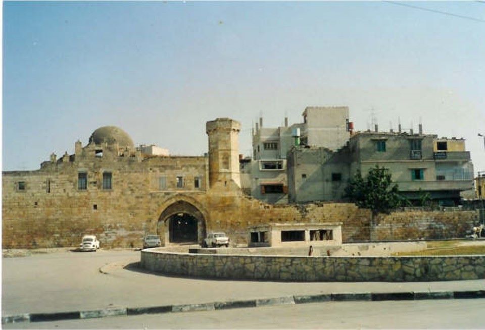
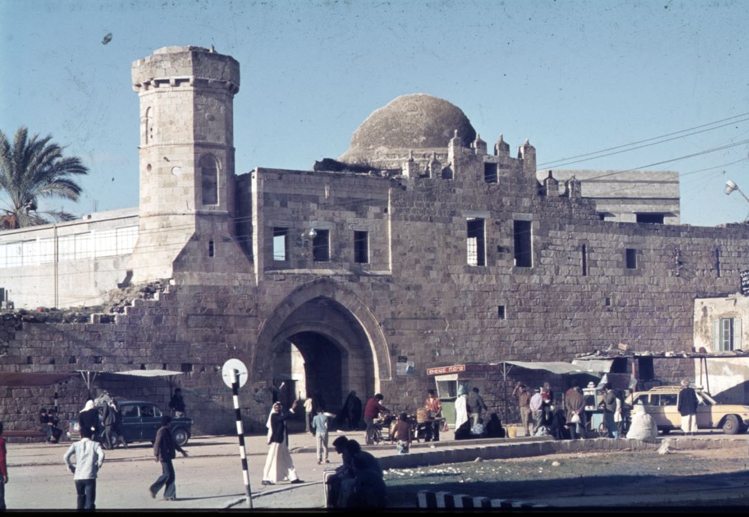
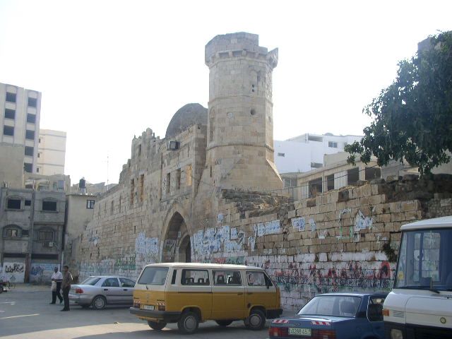
The Khan (the Inn) is located in the center of Khan Yunis city on the ancient coastal road "Via Maris," connecting Egypt to the Levant, 32 km south of Gaza City. The city has grown around it over seven centuries. This Khan was built, as indicated by the foundation inscription at its entrance, by Yunis al-Nayrouzi al-Dawadar, the "scribe" of Sultan al-Zahir Barquq, until the year 1387 AD. The Khan served as a major station between Damascus and Baghdad, being one of the Khans that spread along the main roads during the Mamluk and Ottoman periods. It was possibly built in the 14th century on the ruins of the ancient site of Genessos mentioned by Herodotus in the 5th century BCE, and this hypothesis still requires archaeological exploration.
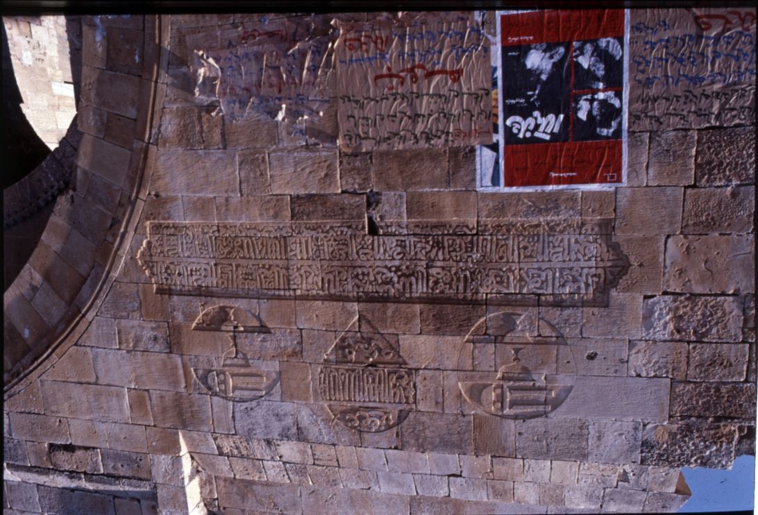
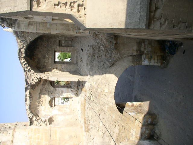
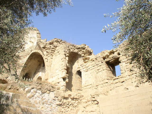
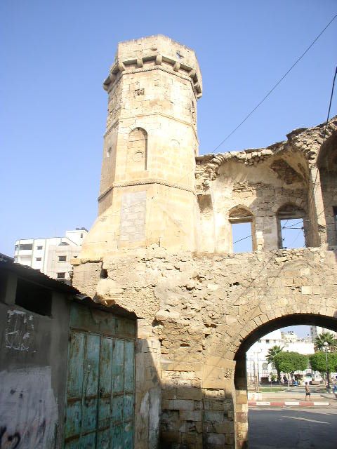
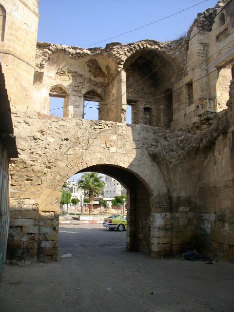
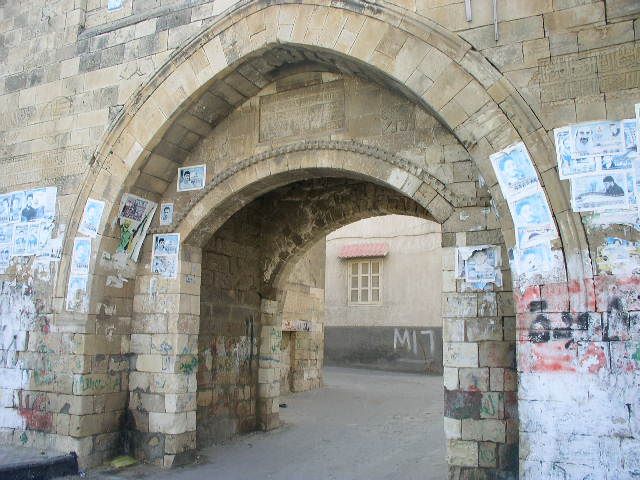
The Khan is a square-shaped building, with each side measuring 85.5 meters on two floors, constructed on an area of 16 dunums. It has two gates. There was a circular tower at each corner, facing one of the four directions. It had a large gate on the western wall and an open courtyard. It consisted of two floors: the first was used for storing goods or stables for animals, while the second floor, on the western side above the gate, housed a mosque, a minaret, a reception hall, and the remaining rooms were for sleeping. The castle had an internal and an external water well to supply the castle's residents with water. Above the main entrance to the castle, there are several engravings and reliefs carved in stone, surrounded by a lion drawing, and above the gate are arrow slits.
Parts of the castle collapsed due to the destruction that occurred in the battle between the Mamluks and the Ottomans in 1516, and also during the French campaign on Egypt and the Levant in 1798, and the destruction caused by the British to the castle during World War I in 1917. Other parts of the castle crumbled due to the passage of time, while the front part of the castle, including the main gate, the mosque, and the minaret, remained preserved. Some 19th-century travelers, such as the German Schumacher in 1866, described it as a small village. The Austrian Mousel and the German Tiersch left the first images of the castle in the late 19th and early 20th centuries. In the 1930s, Dr. Dimitri Baramki drew a plan of the castle. Dr. Robert Hamilton visited it in 1943, and Dr. Marwan Abu Khalaf conducted a study of the castle in 1983.
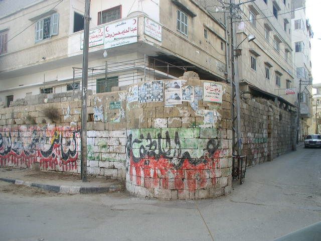
The area where this Khan is located was named Khan Yunis after it. The city grew in the last century to become the second-largest city in the Gaza Strip after Gaza City. Schumacher, who visited the city in 1866, noted that the population of the castle did not exceed 700 people, and in 1944, the population increased to 11,200 people. In 1967, the population doubled to about 23,465 people, and in 2023, it reached around 450,000 people. In 2004, the Palestinian Antiquities Department carried out restoration work on the western facade of the castle, and to the west of Khan Yunis city, there are several important archaeological sites, such as Tel Ridan and Tel Jinnan.