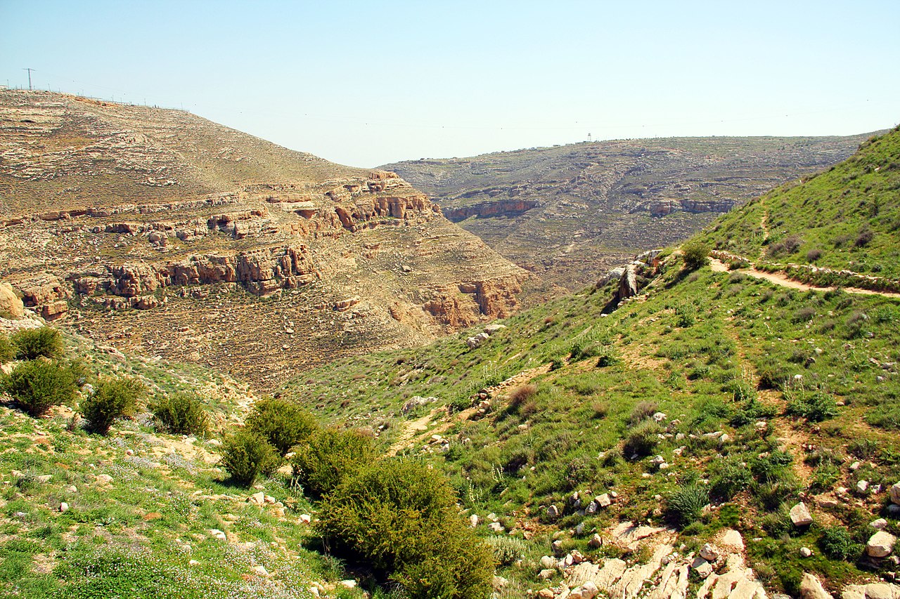
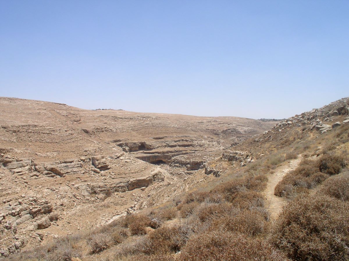
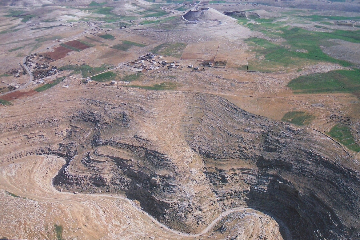
Khraitoun valley is located approximately 2 kilometers south of Tel Al-Faridis. The valley stretches about 4 kilometers from west to east, meeting with the Umm Al-Naqous Valley, which extends towards the Dead Sea.
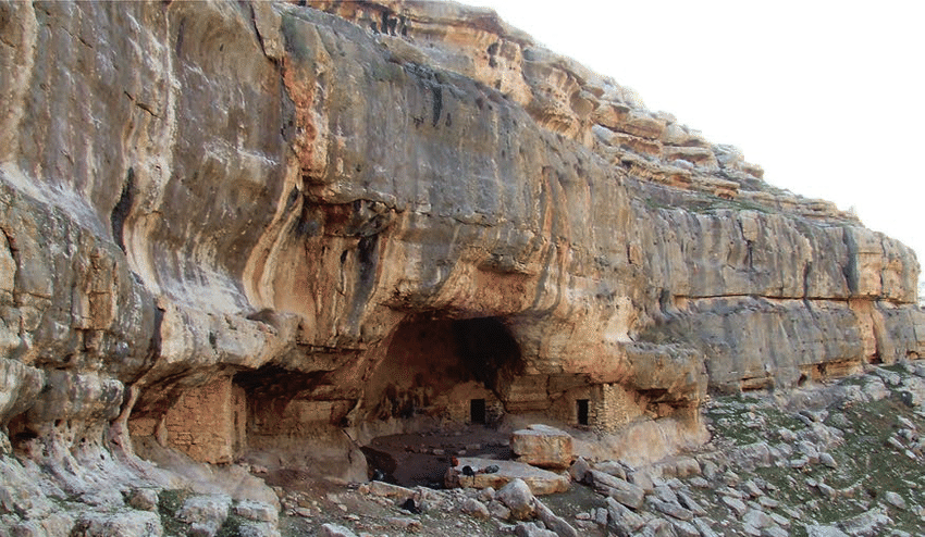
The valley holds exceptional significance as it represents a prehistoric civilization dating back over half a million years. Archaeological excavations conducted between 1928 and 1962 in the caves scattered along the valley's banks revealed traces of human activity from various historical periods. On the northern bank, a group of caves is spread, including notable ones such as 'Arq Al-Ahmar, Umm Qal'a, Umm Qatfa, 'Ain Sakhri, Umm Naqous, and Al-Khayam.
After walking 1.5 kilometers into the valley, there is a large cave on the slope known as 'Arq Al-Ahmar. This natural cave, revealed through excavations, shows human settlement from the Lower Paleolithic to the late Natufian period. The oldest settlement layer contains tools made of flint stone, including hand knives and scrapers.
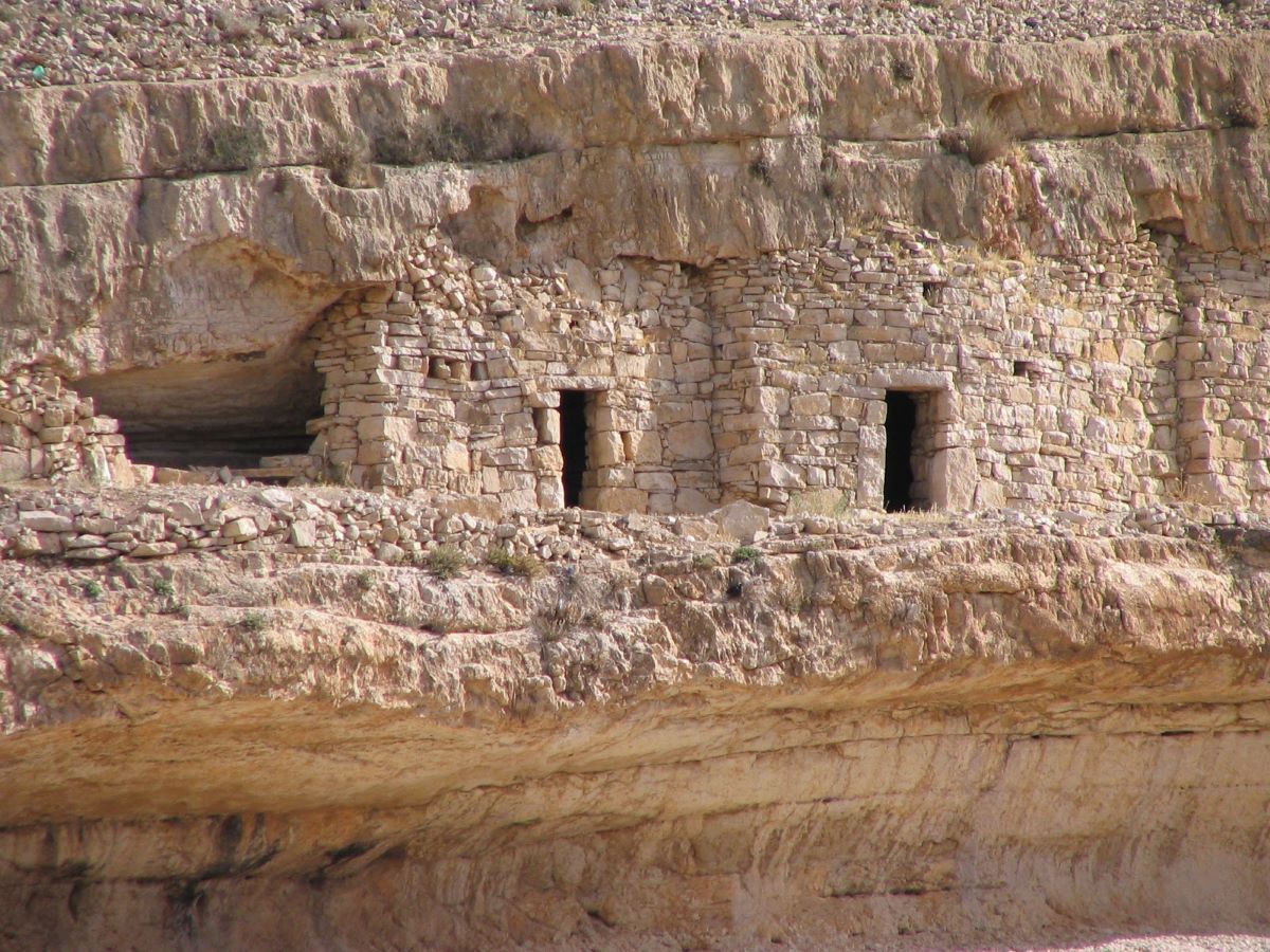
One kilometer from 'Arq Al-Ahmar, the cave of Umm Qal'a is located, containing remains dating back to the Chalcolithic period. One kilometer east of Umm Qal'a is the cave of Umm Qatfa, where the oldest evidence of prehistoric civilization in Khraitoun Valley appeared. Discovered tools in this cave include hand axes, and it is where the first evidence of fire in the Middle East was found.
On the southern bank of the valley lies the Khraitoun Cave, a natural cave extending more than 300 meters into the mountain, with multiple entrances and tunnels. Additionally, the Monastery of Saint Khraitoun is located there.